“maps are not neutral. they reflect and perpetuate power relations and have always been political instruments influencing our understandings of the world. in contemporary endeavours and struggles towards a more socially and environmentally just urban, maps are being used in various ways and by a wide variety of actors to raise consciousness, to contest and re-shape the status-quo.”
“visual communication and critical mapping are key instruments (among others) in the voicing and giving legitimacy to narratives and discourses of dissensus and dissent, as demonstrated by many scholars and examples of practice. In this project and the resulting mapping change logbook, we took a closer look at some of the many interpretations of critical mapping. we explored how and in what ways their employment contributed to shifting mindsets, reshaping realities, and addressing the historically far-reaching origins of recent neoslaveries and urban polycrises. with this, we hope to humbly contribute to the countless global efforts to create localized systemic reforms and anti-hegemonic pathways.”

https://mapping-change.labor-k.org/overview/index.html
contribution by e. tisselli:
“i was asked to draw a map. on the table, i find large sheets of paper and colored pencils. I take a green one, and my hand starts tracing. my movements produce curves, lines with jagged edges, points, and shapes. slowly, a territory begins to appear. and, little by little, i realize that i know more about that territory than i initially thought. but i also know less than what is necessary to draw a complete map. i leave blurry, uncharted areas. when i have finished my drawing, i feel closer and at the same time more detached from the territory i call my own. i have learned something, yet i have produced a drawing whose usefulness is rather limited because of its incompleteness and the subjectivity it embodies.”
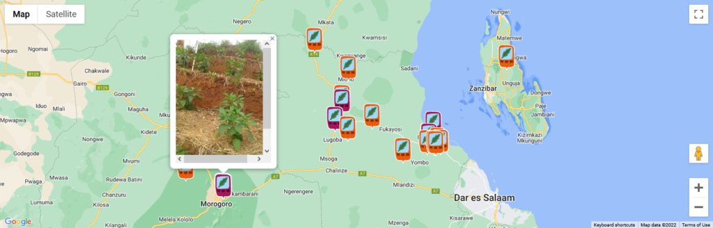
“i was then asked to use a smartphone to map a territory. the smartphone has an app that allows me to take pictures and record sounds, which are automatically located on a digital map, according to the corresponding gps reading. i walk around the area, more or less systematically, taking pictures of the features that i find interesting and recording my voice to explain what i see. after a while, i have taken almost a hundred pictures, and i can see all of them on the online map, each represented by a point. if i click on a point, the corresponding image and its accompanying voice message appear. it is an active map, and it can keep growing. others can click through it as well. it can be useful, i think.”
continue reading:
https://mapping-change.labor-k.org/via-field-notes-2/